In 3D, each region's height is the forecast rain for the hour on the time slider.
Now
Height = rain / hFlood watch
New here? Tap Explore to see 27 places in Guyana in real photos, with their live weather.
GuyanaLive
01/06
Live conditions · All 10 regions
Welcome toGuyana.
Weather, wind, rivers and flood watch for every region of the country, on one living 3D map of the real Earth.
Scroll
01The land
A country of forest,rivers and savannah.
On the Atlantic coast of South America, between Venezuela, Brazil and Suriname.
Land area
0km²
Forest cover
0%+
Regions
0
02The name
The Land ofMany Waters.
The name comes from an Indigenous word for "land of many waters". The Essequibo, Demerara, Berbice and Corentyne carry the rain of the interior to the sea.
Essequibo River
~0km
03Kaieteur Falls
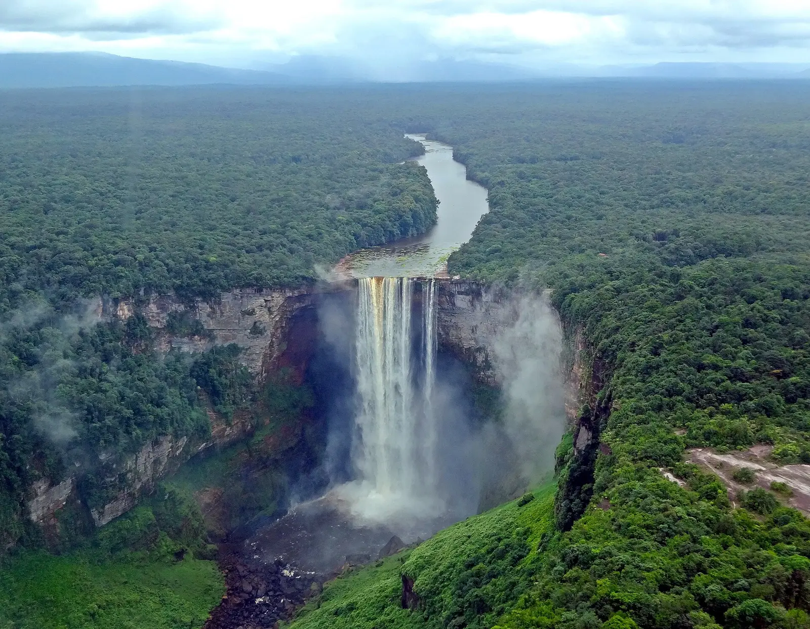
226 metres.A single drop.
The Potaro River plunges into its gorge at one of the most powerful waterfalls on Earth.
Kaieteur Falls · Photo: Amanda, CC BY 2.0, Wikimedia Commons
04The people
One nation,many peoples.
The only English-speaking country in South America. Most Guyanese live along the coast, much of it below high-tide level, protected by the sea wall.
Population
~0
Live on the coast
~0%
05Guyana Live
Every region.Live.
01Weather in 3DRegions rise with the rain. Scrub or play the next 24 hours, with live wind streams.
02Rivers & flood watchModelled river flow and a transparent flood-risk estimate, with alerts.
0327 places, real photosSee what Guyana actually looks like, region by region.
Estimates from computer models, not official warnings. For official alerts, follow Hydromet and the Civil Defence Commission.
Estimates, not official warnings. Weather, rivers and flood watch come from computer models.
For official alerts and tide times, see Hydromet
and the Civil Defence Commission.